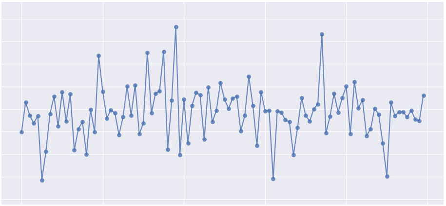
Fourier Series has been widespread in applications of engineering ranging from heat transfer, vibration analysis, fluid mechanics, noise control, and much more. After evolutions in computation and algorithm development, the use of the Fast Fourier Transform (FFT) has also become ubiquitous in applications in acoustic analysis and even turbulence research. In this tutorial, I describe the basic process for emulating a sampled signal and then processing that signal using the FFT algorithm in Python. This will allow the user to get started with analysis of acoustic-like signals and understand the fundamentals of the Fast Fourier Transform.
Read MoreIn this tutorial I will cover one of the newest microcontroller interface languages, Python, and demonstrate Adafruit's powerful Trinket M0 microcontroller and its capabilities using Python as its programming language. Much of what is outlined below can be seen on Adafruit's website [UART communication, Trinket info, CircuitPython Basics].
Read MoreGeographic information systems (GIS) are powerful tools used by climatologists, health organizations, defense agencies, real-estate companies, and nearly all professions that rely on location-based data. Geographic data is often very cumbersome to analyze traditionally, which is why visualization tools are essential. Depending on the size and complexity of the data, several robust GIS softwares exist on the market from open-source (free) to paid subscriptions. Each software has its strengths and weaknesses, so depending on the application one software may be more effective than another. A few of the leading softwares are: GE Smallworld, Google Earth Pro, AutoCAD Map 3D, and Maptitude. QGIS is an open-source competitor to ArcGIS, which is arguably the industry leader in the GIS market, so for financial and ease-of-application reasons, QGIS is employed here. I will also cover four scales of geographic analysis: one at the city level (NYC), one at the state level (Washington State), one at the country level (U.S.A.), and one at the world level. The goal is to demonstrate the power and breadth of geographic information systems at any scale.
Read More


