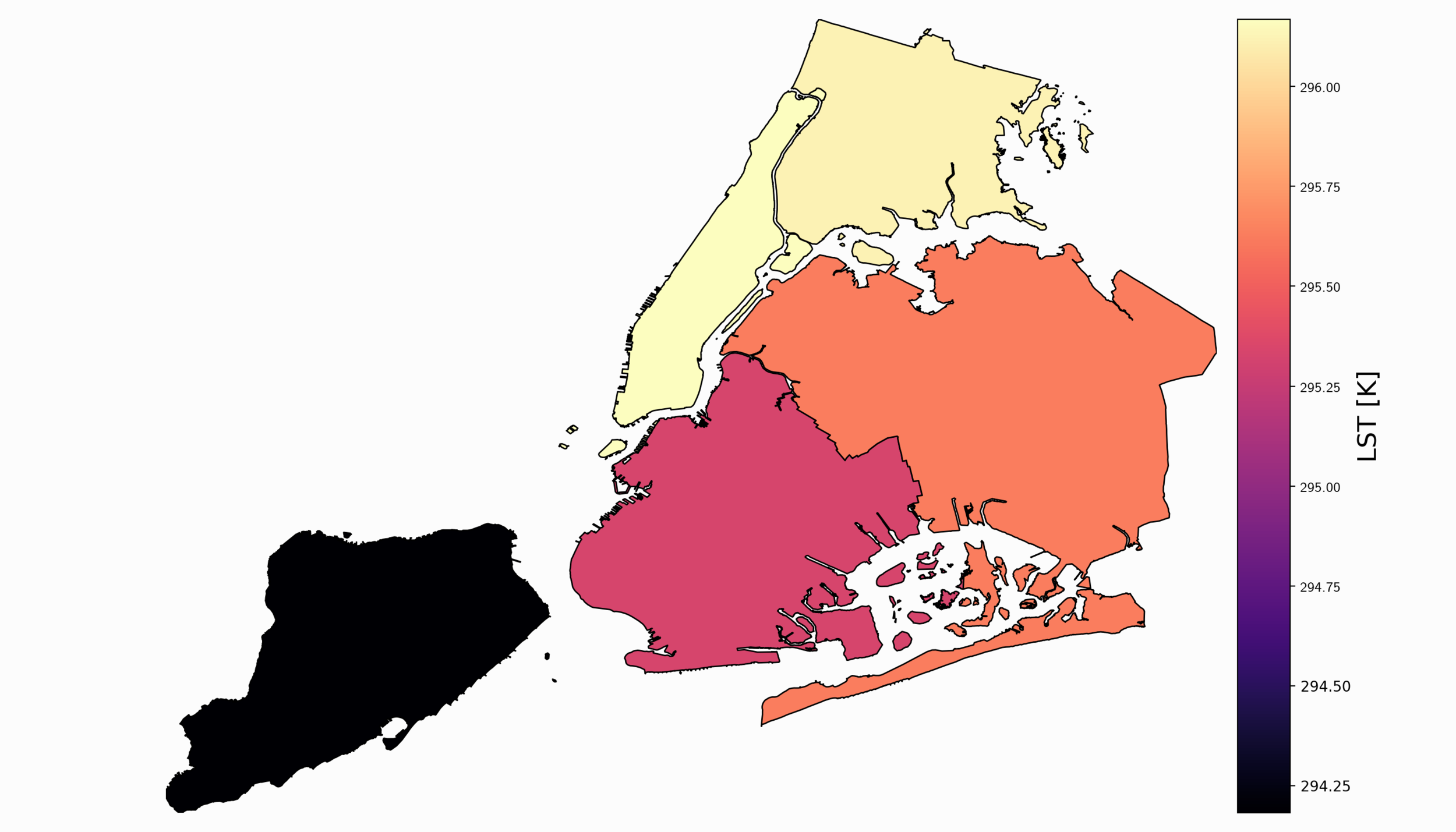
Satellite Imagery Analysis in Python Part II: GOES-16 Land Surface Temperature (LST) Manipulation
For part II, the focus shifts from the introduction of file formats and libraries to the geospatial analysis of satellite images. Python will again be used, along with many of its libraries. Land Surface Temperature will again be used as the data information, along with shapefiles used for geometric boundary setting, as well as information about buildings and land cover produced by local governments - all of which are used in meteorological and weather research and analyses.

Satellite Imagery Analysis in Python Part I: GOES-16 Data, netCDF Files, and The Basemap Toolkit
In this tutorial series, Python’s Basemap toolkit and several other libraries are utilized to explore the publicly-available Geostationary Operational Environmental Satellite-16 (GOES-16). In this first entry, the following will be introduced: acquisition of satellite data, understanding of satellite data files, mapping of geographic information in Python, and plotting satellite land surface temperature (LST) on a map.